Today is a nice and warm November saturday here, so I'd gone out for take some pics for you.
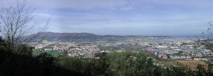
It's the first time that I use the "panorama stitcher" software for doing panoramic images, so maybe the results are not very good (you got big pictures, but loss some detail).
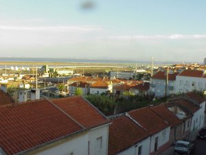
Irún, my home city, is in the North Atlantic spanish coast, just in the border with France.
Here you are seeing the three "sister" cities in the Spain/France border: in the right, across the
"Río Bidasoa" (Bidasoa River), is the french city of
Hendaye; in the far front, behind the airport and across the
"Bahía de Txingudy" (Txingudy Bay), is the small spanish town of
Fuenterrabía, old medieval fortified city very touristic; in the forefront and left is
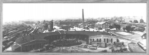
Irún. From this point, there are not enough elevation to see it, but the international rail facilities run across the middle of Irún and Hendaye, extending several kilometers, well past both cities. Part of it are the long buildings just in the center of the image, mainly visible at the bridge's left side.
(If you ask, in the yellow square is -more or less- my "home, sweet home"

)
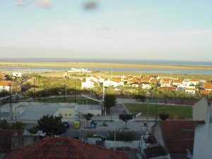
Irún was almost completely burnt in the spanish civil war and only a few historic buildings and monuments were left, so it's not of touristic interest. Instead, you can visit Fuenterrabía or San Sebastián, the province's capital, at 20 kilometers West of Irún. In this site you can go several "virtual tours" of San Sebastian, just press the button labeled "pictures" and select either Java or Macromedia as the visualization engine:
http://www.sansebastianturismo.com/ingles/indexi.htm

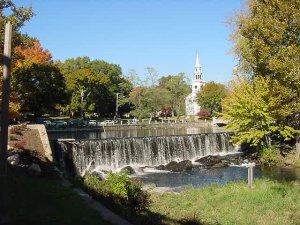
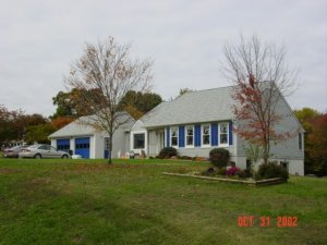
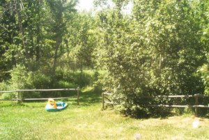
") Sadly, no visiting wildlife that day. We've had deer, moose, foxes, and even a porcupine visit.
Sadly, no visiting wildlife that day. We've had deer, moose, foxes, and even a porcupine visit.